Esk Highway Tas. Drive
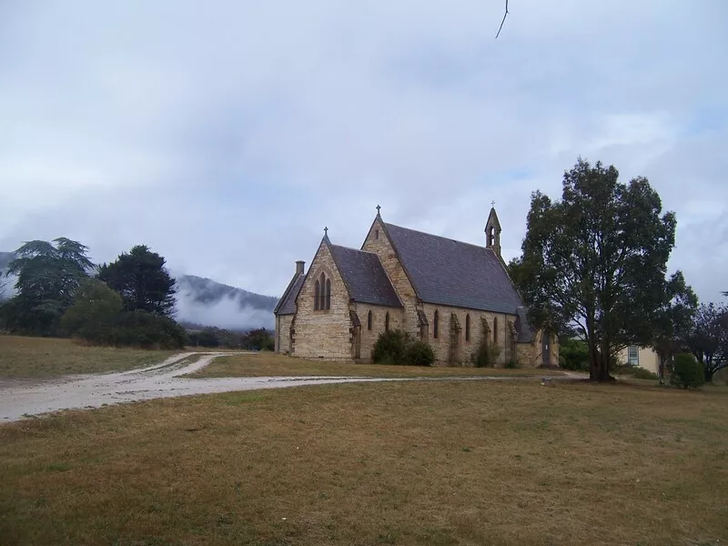
The Esk Highway, which passes through the Fingal valley, provides the shortest access to Tasmania's East Coast from the north of the island. The valley's picturesque countryside contains numerous former mining towns and abandoned mine sites and settlements on the southern slopes of Ben Lomond. Its western end begins at the Midland Highway at Conara Junction, just north of Campbell Town. This end of the valley is dominated by Stack's Bluff. Its eastern end passes through St Marys and then deviates in a north-east direction, where it connects to the Tasman Highway. Another road, which follows a path south-east from St Marys, joins the Tasman Highway at Chain of Lagoons after traversing Elephant Pass.
Location: north east Tasmania
Length: Launceston to St Marys 130 km
Features/attractions: Esk Valley, Evercreech Reserve, Fingal Valley, Lake Leake, Ben Lomond Plateau, St Patricks Head
The Journey: Starts and finishes in Launceston.
Recommended duration: 1 day
Get the best experience with the app
The Cya On The Road app gives you an itinerary of 27 hidden gems with fascinating stories, complete with audio guides, maps, top rated nearby hotels, cheap flights, car hire deals, attraction discounts and the best local eats.
Get the app now and search for Esk Highway Tas. Drive.

